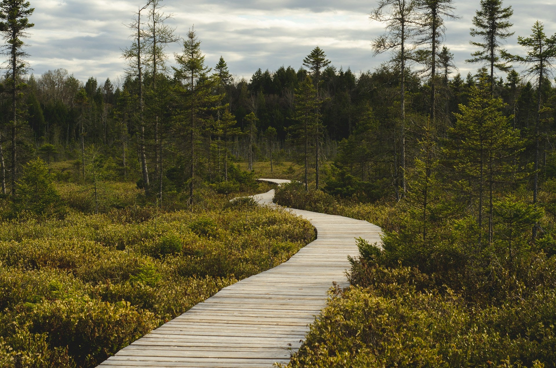
Ask ten Bay Area hikers for their favorite trail and you'll get ten different answers. That's part of what makes this region so good for hiking. You've got coastal bluffs a short drive from redwood canyons, and East Bay summits not far past either one, all packed into a surprisingly compact stretch of geography.
We put together this guide because, from our home base in San Jose, we spend nearly as much time on these trails as we do behind the wheel getting to them. If you're gearing up for a season of exploring, you can browse new Lexus inventory built for trailhead runs, dirt roads, and everything in between.
Why the Bay Area Is a Hiker's Paradise
Few regions pack this much ecological range into a two-hour radius. You can walk under 250-foot redwoods in the morning and stand on a wind-scoured coastal bluff by lunch. Mild temperatures year-round mean hiking around Bay Area trails rarely goes fully out of season, though summer fog on the coast and dry heat inland change what "comfortable" looks like depending on where you go. Whether you want easy hikes in San Francisco or a demanding summit push in the East Bay, the options below cover every fitness level.
Easy and Family-Friendly Trails
Lands End Trail, San Francisco
This 3.26-mile out-and-back along the northwestern San Francisco coastline takes about 1.5 to 2 hours and delivers views of the Golden Gate Bridge, Marin Headlands, and open Pacific. Along the way, you'll pass the Sutro Baths ruins and staircases leading to Eagle's Point Overlook. It's wheelchair-accessible from the Merrie Way parking lot, and leashed dogs are welcome. Read more in this Lands End trail guide.
Glen Canyon Park, San Francisco
Tucked off Elk Street and O'Shaughnessy Boulevard, the 66.6-acre Glen Canyon Park park holds a 3.7-mile trail network built around the free-flowing Islais Creek and dramatic chert rock formations. Spring brings wildflowers, and the 1.2-mile Creek to Peaks trail climbs toward Twin Peaks with rewarding city and bay views.
Sunol Regional Wilderness, East Bay
Established in 1962, this 6,850-acre East Bay Regional Park District property sits near Sunol, south of Pleasanton and east of Fremont. Grazing cattle share the trails here, so follow posted District safety guidance around livestock. Stop by the Old Green Barn Visitor Center, then head toward Little Yosemite, a small gorge along Alameda Creek. Elevations climb from roughly 400 to over 2,200 feet, and there's no water on the trails, so pack your own. Full details in this Sunol Regional Wilderness hike guide.
Riverfront, Waterfall, and Redwood Trails
Uvas Canyon Waterfall Loop, South Bay
This 1,147-acre park in the eastern Santa Cruz Mountains has 7.2 miles of trails total. The 1-mile Waterfall Loop follows Swanson Creek, while the fuller loop combining the Waterfall Loop, Contour Trail, and Alec Canyon Trail visits multiple waterfalls across 3.5 miles. Day-use reservations are required daily, so plan ahead. More on the Uvas Canyon Waterfall Loop.
Cataract Falls, Mount Tamalpais
On Mt. Tam's northern slope, the Cataract Trail follows Cataract Creek from its origin on the mountain down to Alpine Lake, passing through ferns and stands of coast redwood and Douglas fir, with tanoak and bay laurel filling in the understory. The trail runs roughly 3 miles between Alpine Lake and Rock Spring parking. Flow is strongest after winter storms and noticeably lower by late summer, so check with Marin Water for current conditions before you go. Details in this Cataract Falls trail write-up.
Muir Woods National Monument, Marin
Muir Woods offers 6 miles of trails with loop options running roughly 30 minutes to 90 minutes. The Main Trail follows Redwood Creek across boardwalk, asphalt, and packed soil; the shortest loop, a flat 0.5 miles, ends at Bridge 2, while a longer 2-mile version reaches Bridge 4. The tallest redwood here reaches 258 feet within 550-plus acres of old growth. Pets, bikes, and camping aren't permitted, and parking requires a reservation through GoMuirWoods.com. Learn more from the National Park Service on Muir Woods.
Scenic Coastal and Ridge Hikes
Point Reyes National Seashore, Marin
Home to over 1,500 plant and animal species across roughly 150 miles of trails, Point Reyes is worth the drive north. Pick up maps at the Bear Valley Visitor Center. Alamere Falls, a tidefall dropping into the Pacific, is a highlight, but stick to official trails toward Wildcat Campground before descending to the beach, and check the NPS advisories page for current status. More at this Point Reyes hiking resource.
Marin Headlands: Hawk Hill and Slacker Hill
Part of the Golden Gate National Recreation Area, this area also includes Rodeo Lagoon, Gerbode and Tennessee Valley, and Point Bonita Lighthouse. A 2017 trail realignment opened up Hawk Hill's 360-degree views to more visitors, and it's prime territory for fall raptor migration viewing on fog-free days between 10 a.m. and 2 p.m., September and October. It's also mission blue butterfly habitat, so stay on trail. Slacker Hill pairs naturally via the Coastal Trail. See this Marin Headlands lookout guide.
Devil's Slide Coastal Trail, Pacifica
This 1.3-mile paved trail follows a former stretch of Highway 1, with separated lanes for hikers and cyclists, plus benches, observation scopes, and restrooms along the way. It's part of the California Coastal Trail, a route that will eventually run 1,200 miles between Oregon and Mexico. On clear days, views stretch to Pedro Point Headlands, Mt. Tam, and Point Reyes. Full write-up at this Devil's Slide Trail guide.
Adventurous Day Hikes and Summit Climbs
Mission Peak Regional Preserve, Fremont
Mission Peak connects to the 28-mile Ohlone Regional Wilderness Trail, linking Mission Peak, Sunol, Ohlone Wilderness, and Del Valle. The summit approach is rugged, and the payoff is a sweeping valley and bay view. Late-July heat makes early starts and extra water non-negotiable here. More context via this Ohlone Wilderness Trail overview.
Mount Diablo State Park, East Bay
Mount Diablo is one of the East Bay's most recognizable summits, with fire roads and single-track trails radiating from the peak and serious elevation gain for anyone tackling it from the base. Panoramic views make it worth the climb, but treat it with the same heat caution as Mission Peak during summer months.
Mount Umunhum, Sierra Azul Preserve
At 19,000-plus acres, Sierra Azul is Midpen's largest preserve, and Mount Umunhum's peak sits at 3,486 feet, the highest point on the Bay Area Ridge Trail. From the top, you're looking down over Lexington Reservoir, Los Gatos, and southern San Jose, close enough to home that we consider it a neighborhood hike. The Guadalupe Creek Overlook marks roughly a third of the way up, and the round trip runs 8.2 miles with 1,187 feet of elevation gain, taking about 3.5 to 4 hours. The upper 3 miles stay shaded under coast live oak and foothill pine, with California bay and Pacific madrone mixed throughout. Gates open at 7 a.m. and close at sunset. Read more in this Mount Umunhum trail resource.
Worth the Drive: Santa Cruz Mountain Escapes
Big Basin Redwoods and Berry Creek Falls
Big Basin is California's oldest state park, known for old-growth redwoods and the multi-cascade Berry Creek Falls loop. Recovery from the 2020 CZU fire is ongoing, and the old observation platform near the falls was destroyed in that fire, so trail access and conditions change. Verify current status on the official California State Parks site before you head out. More background at this Bay Area redwood hikes overview.
Henry Cowell Redwoods State Park
This park mixes coast redwood and Douglas fir with bay laurel and tanbark oak across trails suited to hikers of most levels, plus seasonal fishing, camping, and birdwatching. The Fall Creek Unit, a second-growth forest with a fern-lined canyon and remnants of the old lime industry, is day-use only. Horses are restricted on named trails and drones aren't allowed. A $10 day-use parking fee applies (per California State Parks; $9 for seniors 62+). Details at this Henry Cowell Redwoods guide.
Trail Tips: Seasons, Permits, and Safety
Rainy season, roughly November through March, is what actually fills creeks and waterfalls, so if you're chasing waterfalls, wait until after a few good storms before heading to Uvas Canyon or Cataract Falls. Summer brings coastal fog along the Pacific side while inland areas like Mission Peak and Mount Diablo turn hot and dry, though redwood groves stay cool. Autumn tends to offer the clearest, least foggy days, and winter turns hillsides green and trails muddy while waterfalls reappear.
On the safety side, learn to spot poison oak: leaves grow in groups of three, gently lobed, showing up as a bush, vine, or ground cover in green or reddish tones. Many people react to it, so long pants are a smart call on brushier trails. Watch for ticks and rattlesnakes on grassy or rocky sections, and respect fog and wind on exposed coastal trails like Lands End or Devil's Slide. At Sunol, follow East Bay Regional Park District guidance around grazing cattle. Given this is late July, treat Mission Peak and Mount Diablo with real heat caution, watch general fire risk, and expect lower water flow at Cataract Falls and Uvas Canyon than you'd see in spring.
Explore the Bay Area in Comfort with Lexus Stevens Creek
Gear and Driving Tips
Good gear gets you to the trailhead, but the drive there matters too. Rough fire roads leading to Mount Umunhum or Mount Diablo, gravel lots at Sunol, and foggy coastal turns near Devil's Slide all benefit from a vehicle with confident all-weather capability and enough cargo room for your boots and packs, plus whatever gear you end up hauling back muddy after the hike. An AWD-capable Lexus handles that kind of range without much fuss, and if you want to look before a weekend trip, you can find an AWD-capable Lexus in our current lineup.
Contact Us
Whether you're chasing scenic hikes in Bay Area redwood groves or ridge-top views near Los Gatos, having reliable transportation makes the whole outing easier. We're proud to be Northern California's top-volume Lexus dealer for new and pre-owned vehicles, and we've been serving Silicon Valley from Stevens Creek Boulevard since 1989. If you have questions about which model fits your outdoor plans, or want to schedule a pre-trip service check, contact Lexus Stevens Creek and we'll help you get ready for your next trail day.
Photo by Megan Lee on Unsplash